Back to solutions Smart city solution

Turn city sensors into live GIS operations.

Device Explorer connects municipal LoRaWAN sensors to usable data models, then routes live events into tools such as Esri ArcGIS so teams can see what is happening by street, asset, route, and service area.

Device Explorer sensor map with connected field devices
1. SensorsParking, waste, lighting, air, and water devices report field measurements.
2. Device ExplorerPayloads become normalized device records, status, measurements, and alerts.
3. Esri ArcGISLive layers support maps, dashboards, field work, and planning workflows.
Mobility

Parking occupancy and curb management

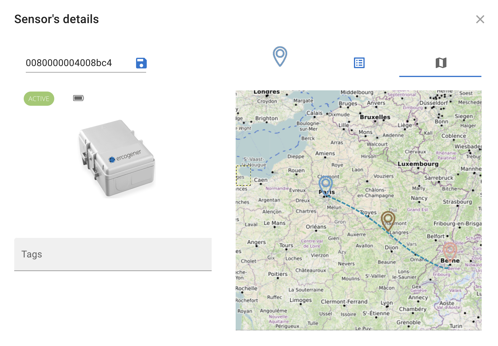
Place parking sensors in on-street spaces, loading zones, or municipal lots and stream occupancy changes into a city map.

  • Show available and occupied spaces by block or facility.
  • Detect overstays, loading-zone pressure, and event-driven demand.
  • Compare utilization trends before changing pricing or curb allocation.
Public works

Waste collection route prioritization

Use fill-level devices on public bins and containers to replace fixed collection routes with service based on actual need.

  • Prioritize pickups when bins reach service thresholds.
  • Reduce unnecessary truck rolls on low-fill routes.
  • Spot recurring overflow locations for capacity planning.
Infrastructure

Street lighting faults and energy actions

Connect LoRaWAN luminaire controllers to monitor fixture state and make lighting assets visible to operations teams.

  • Map outage, dimming, and controller status by street segment.
  • Create maintenance work queues from live asset exceptions.
  • Measure lighting performance after schedule or dimming changes.
Environment

Air quality and water incident monitoring

Combine outdoor air-quality stations with water leak sensors around sensitive facilities, public buildings, and flood-prone assets.

  • Highlight pollutant or leak alerts near priority municipal assets.
  • Correlate incident history with weather, traffic, and service areas.
  • Escalate alerts to maintenance, environmental, or emergency teams.
From pilot to city workflow

Start with one mapped use case

Connect a focused sensor group, validate live measurements in Device Explorer, then push the modeled data into the GIS workflows your city already uses.

Contact sales

Share your details and the Pilot Things sales team will get back to you shortly.